At around 8:30 we headed out for birding using a list of five locations around the lake from Myvatn Birdlife. We were at sites 1 & 2 last night.
We saw Whooper swans, terns, and Barrow’s Goldeneye. This area was also noted for interesting lava rock shapes. We took photos of the lake, the birds on the water, and the fields with lava rocks and rock walls.
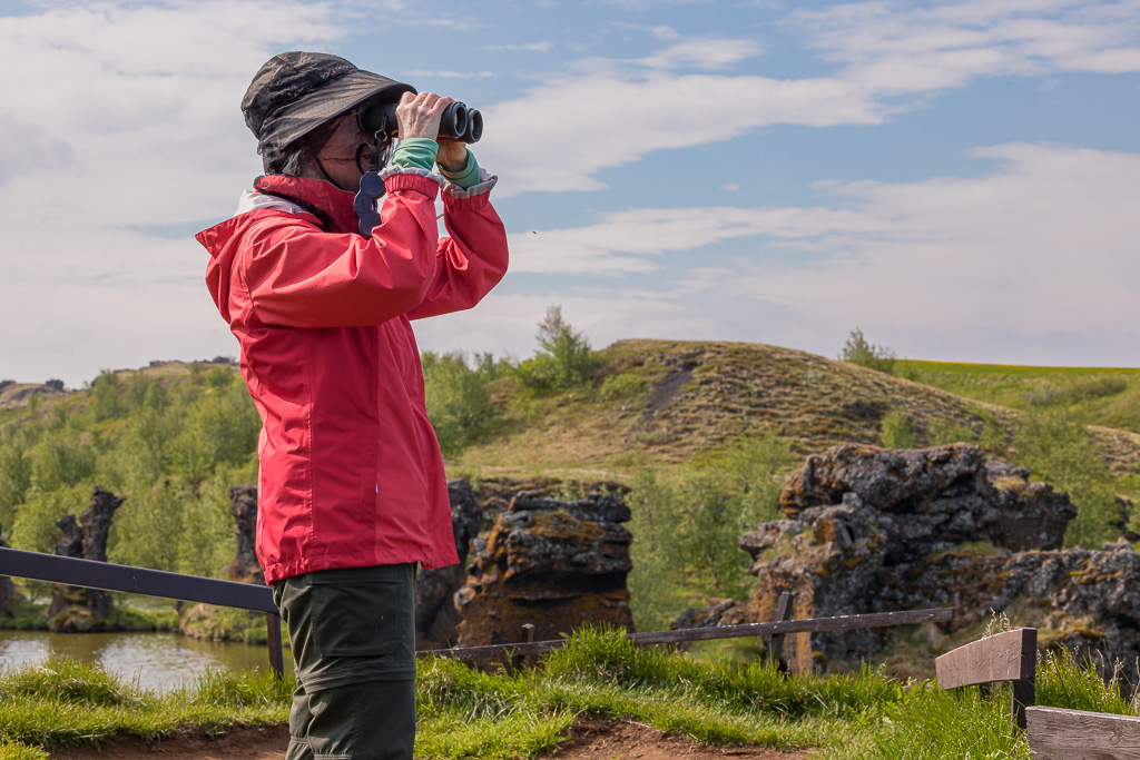
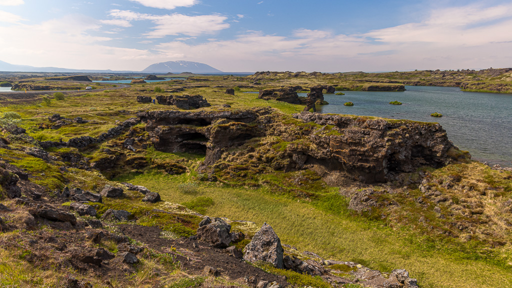
Another site we went to, Höf∂i, was a forest park with trails winding to cliffs overlooking the water with picturesque rock stacks and birds. It’s a delicate forest with smallish trees that looked like birches.

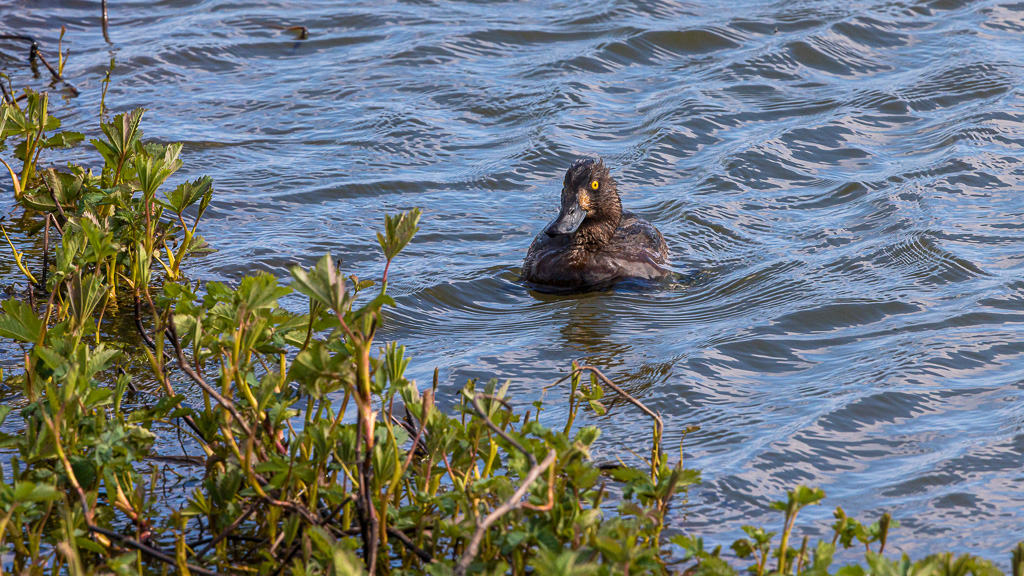
By 11:15 am we were walking on trails around the Skútusta∂agígar area further along the south shore of Myvatn. These are pseudo-craters that were formed when hot lava flowed over the wet marsh area causing steam explosions. In the water nearby we saw Tufted Ducks and Goldeneyes. We chatted with some British tourists who asked where we got our bug nets, but since we brought them from home we weren’t able to help. Later we stopped at a Visitor Center that had a mini-museum of geology of the pseudo-craters. The clerk there recommended a restaurant across the street for lunch. We got fish of the day and a burger. The place was a small store, gift shop, and lunch counter with tables in the back on a glassed-in porch.

The last birding stop was at the Laxá River road crossing. We followed a little trail to see the rapids and marsh area. There was probably a meadow pipit but not many other birds here.
We drove on from the Myvatn area and continued along the Ring Road taking pictures of mountains. We stopped for about 25 minutes at another falls, Go∂afoss. The name Goðafoss means either waterfall of the gods or waterfall of the ‘goði’ (i.e. priest/ chieftain). Legend says a chieftain converted to Christianity and threw his pagan objects into the falls to symbolize his conversion.

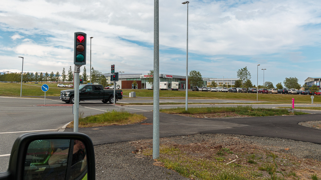
We passed through a tunnel into Akureyri , the second largest town in Iceland after Reykavik. They’re noted for their heart-shaped stoplights on the traffic signals. They were designed to boost morale after the 2008 financial crisis.
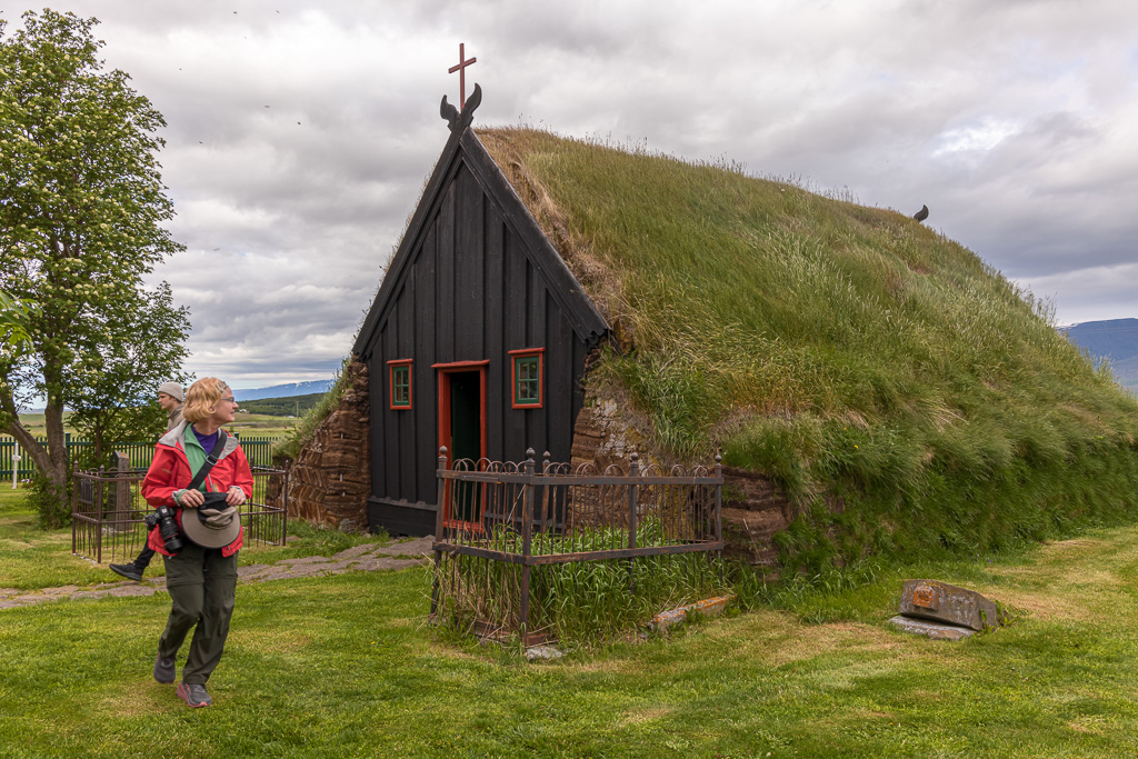
At around 4:40 pm, we made a short side trip to Víðimýrarkirkja in Skagafjörður, a church from the 1800s with a turf roof and cemetery. It is one of Iceland’s historic managed sites and a guide was there to collect an entrance fee and answer any questions. It was tiny, with narrow benches and ramrod-straight backs, which looked very uncomfortable. He played the pump organ for us – Amazing Grace and an old-timey romantic Icelandic tune. They still use the church. The guide said a relative recently had a service there.
After the church, we passed through Blönduós, a larger town at the head of a large bay. We followed the signs for a birdwatching spot by the bay and Pam added glaucous gull to her birding life list.
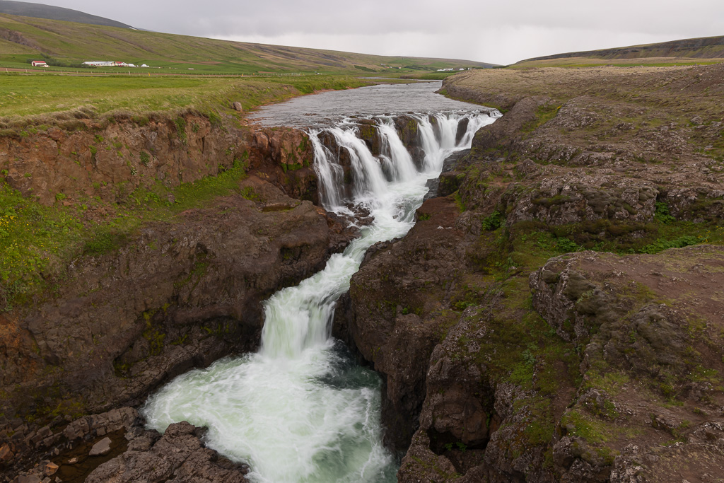
We continued along, occasionally stopping for photos of landscapes and birds. We diverted off the Ring Road a little after 7 pm to look for a waterfall and river canyon which was supposed to be about a 20 min drive. We drove down Rt 715 to a dirt road, Hrappssta∂avegur, to find Kolugljúfur canyon in Vi∂idalur. (The names are hard!) We took lots of photos at this really beautiful set of falls cutting through a small but dramatic canyon.
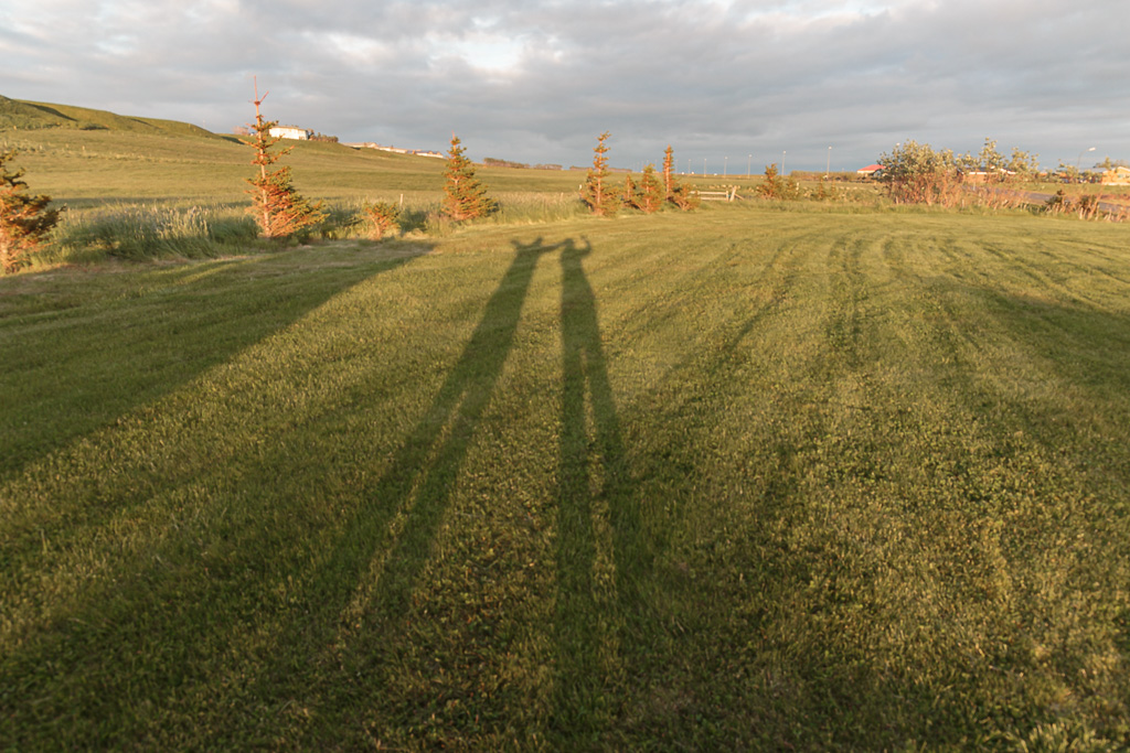
We were back out to the Ring Road around 8 pm and finally arrived at Langafit campground in Hvammstangi on Rt 704, along Mi∂fjar∂ará River. A lot fewer travelers were in this area, maybe 3 campers, and someone in the guest house building, which also housed the WCs and outdoor sinks for the camping. We found the proprietor to pay since we thought we would leave early (rather than pay in the morning). At 10:30 pm we took photos of our very long shadows in the not-yet-set sun.
